Acequias · New Mexico · Fieldguide
La Asociacion de las Acequias - Mora Valley
86 ditches the state has mapped in this region, 15 of them named · Colfax, Mora, San Miguel, Taos Counties.
The acequia at the center of this desk's first town alert runs here, and unusually for New Mexico it is gaged: USGS 07214670 has measured the Cañoncito Ditch continuously since May 2017.
Notices on this desk
The ditch in the dispute is measured
Water here today (14 gages)
Active USGS streamgages within this region's bounding box — near these acequias, though not necessarily on them.
Read Sep 1, 1:00 PM MT
Read Sep 1, 1:15 PM MT
Read Sep 1, 1:00 PM MT
Read Sep 1, 1:00 PM MT
Read Sep 1, 1:15 PM MT
Read Sep 1, 1:00 PM MT
Read Sep 1, 1:30 PM MT
Read Sep 1, 1:15 PM MT
Read Sep 1, 1:15 PM MT
Read Sep 1, 12:45 PM MT
Read Sep 1, 12:30 PM MT
Read Sep 1, 1:30 PM MT
Read Sep 1, 1:00 PM MT
Read Sep 1, 12:45 PM MT
Live from the USGS National Water Information System. Cubic feet per second — one cfs is about 449 gallons a minute. A tile that says no reading means the gage did not report, which is not the same as a dry ditch.
Drought in these counties
How much of Colfax County, New Mexico has been in drought
Share of Colfax County, New Mexico in severe drought or worse (D2–D4), weekly, 2000–2026. Source: U.S. Drought Monitor (National Drought Mitigation Center, USDA, NOAA). Categories are published cumulatively.
How much of Mora County, New Mexico has been in drought
Share of Mora County, New Mexico in severe drought or worse (D2–D4), weekly, 2000–2026. Source: U.S. Drought Monitor (National Drought Mitigation Center, USDA, NOAA). Categories are published cumulatively.
How much of San Miguel County, New Mexico has been in drought
Share of San Miguel County, New Mexico in severe drought or worse (D2–D4), weekly, 2000–2026. Source: U.S. Drought Monitor (National Drought Mitigation Center, USDA, NOAA). Categories are published cumulatively.
How much of Taos County, New Mexico has been in drought
Share of Taos County, New Mexico in severe drought or worse (D2–D4), weekly, 2000–2026. Source: U.S. Drought Monitor (National Drought Mitigation Center, USDA, NOAA). Categories are published cumulatively.
Points of diversion (7)
Where a ditch takes water from the river. Each links to its own record in the state's water-rights reporting system.
Adjudications reaching this region
The court process that decides, for every user on a stream system, how much water they have a right to and how old that right is. Status is the state's own, from its adjudication layer.
On-goingTaos/HondoOn-goingUpper Pecos/Ft. SumnerNamed acequias here (15)
The ditches the state's acequia layer names. Deduplicated — one acequia is often several conveyance segments in the source.
Aito del Taico · Alto De Las Herrera · Buena Vista Ditch · La Cueva Canal · La Sierra Ditch · Loma Parda Community Ditch · Lower Phoenix Ditch · Middle Clyde Ditch · North Company Ditch · North Golondrinas Ditch · Sierra Ditch · South Company Ditch · Tipton Ditch · Upper Clyde Ditch · Upper Phoenix Ditch
The valley, photographed
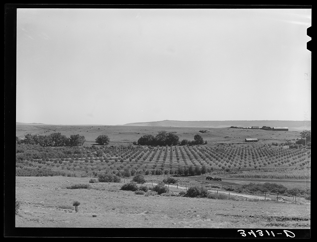
Lee, Russell, 1903-1986, photographer, 1939 Sept.
Library of Congress · No known restrictions.
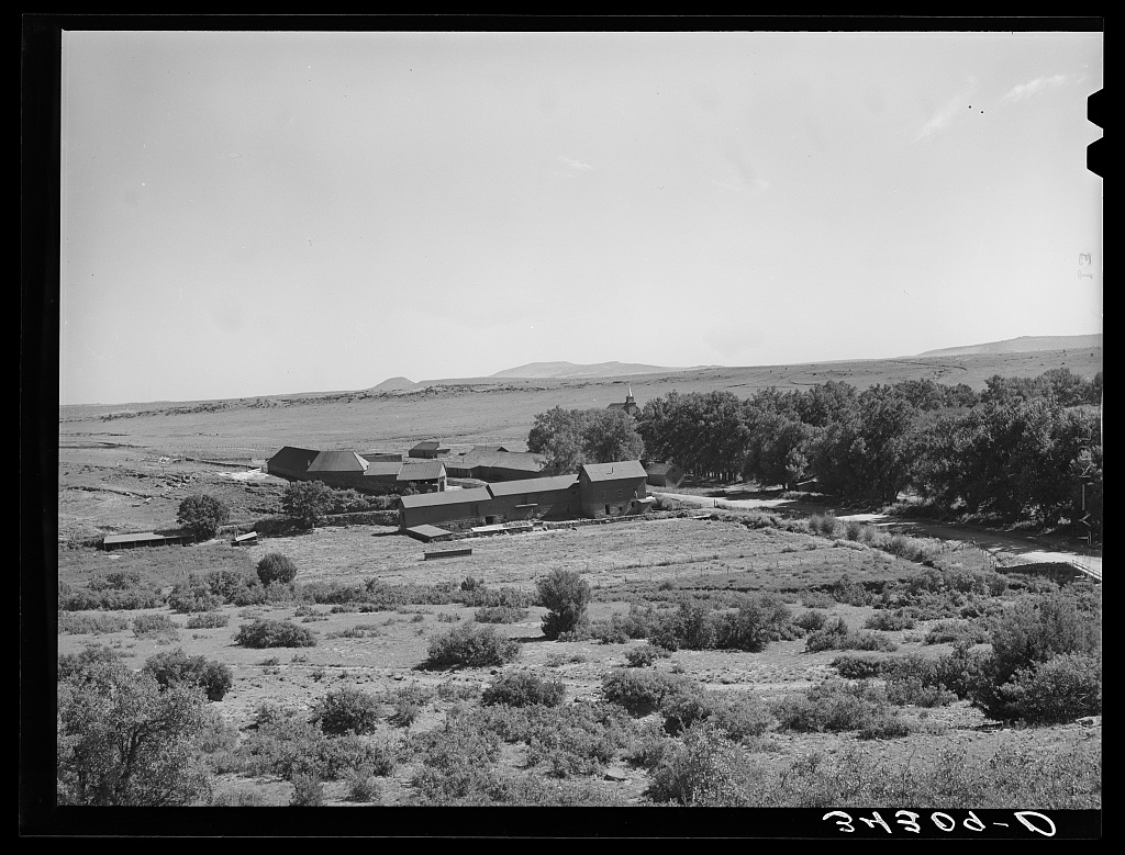
Lee, Russell, 1903-1986, photographer, 1939 Sept.
Library of Congress · No known restrictions.
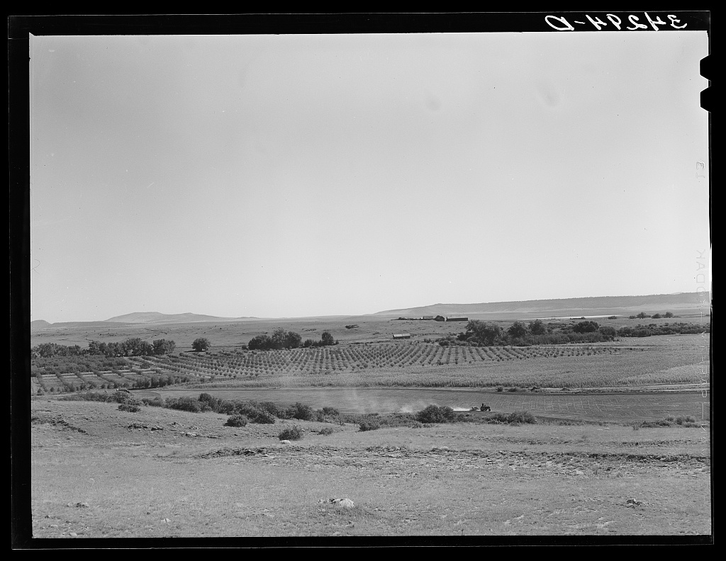
Lee, Russell, 1903-1986, photographer, 1939 Sept.
Library of Congress · No known restrictions.
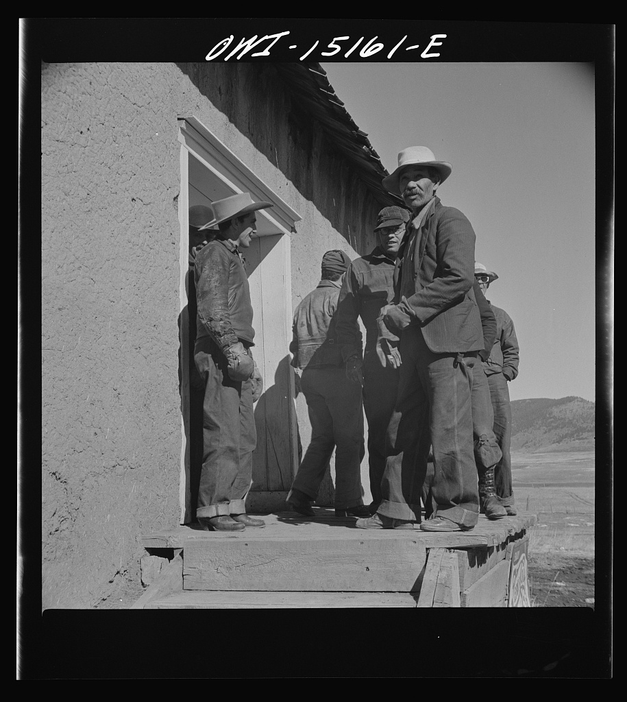
Collier, John, Jr., 1913-1992, photographer, 1943 Jan.
Library of Congress · No known restrictions.
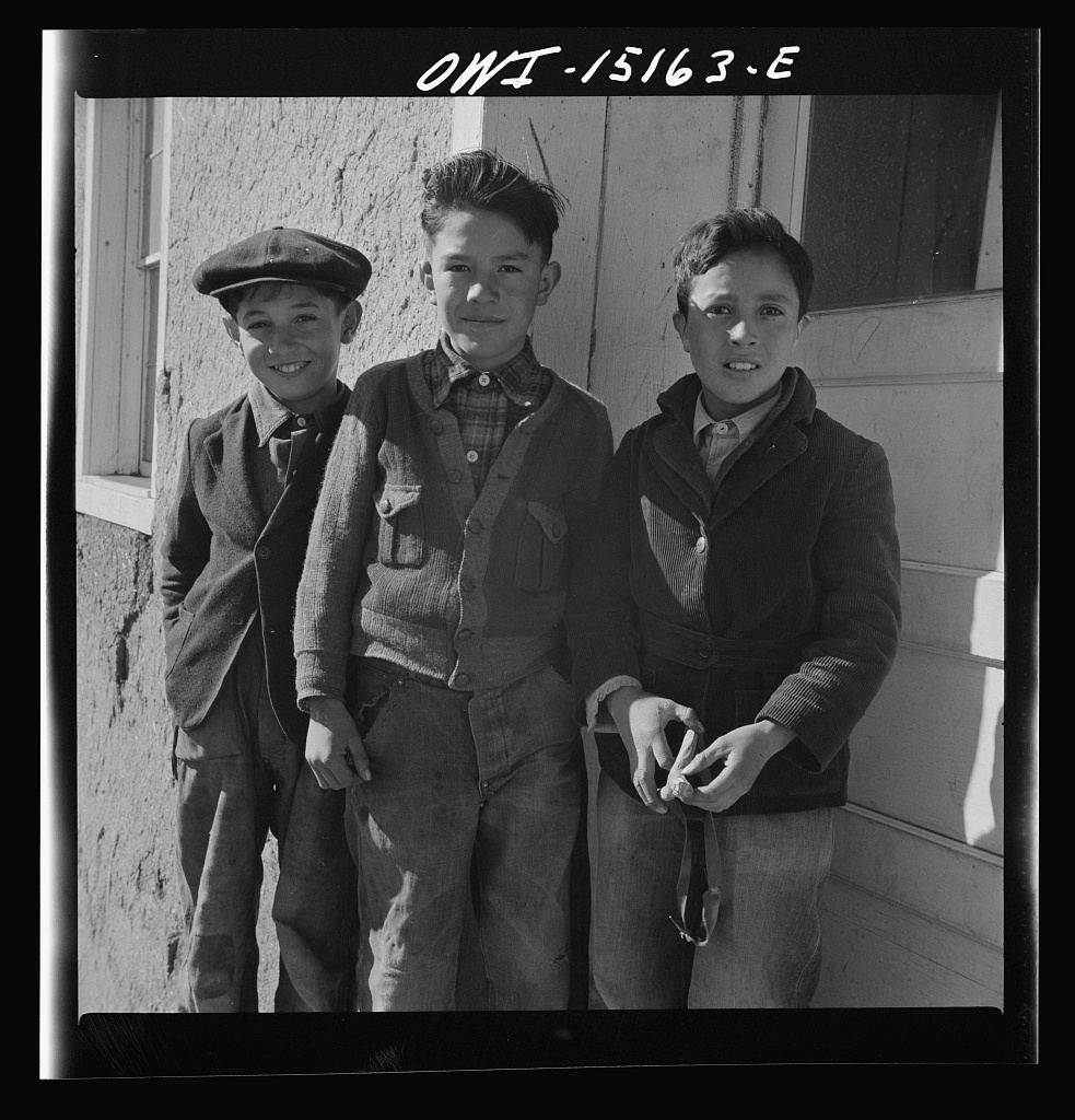
Collier, John, Jr., 1913-1992, photographer, 1943 Jan.
Library of Congress · No known restrictions.
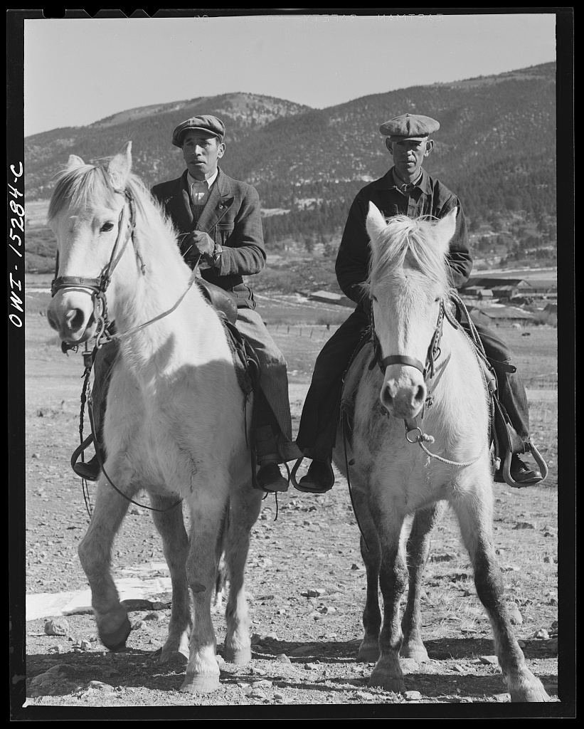
Collier, John, Jr., 1913-1992, photographer, 1943 Jan.
Library of Congress · No known restrictions.
Farm Security Administration / Office of War Information photograph collection, Library of Congress Prints and Photographs Division. Every photograph here carried the Library of Congress rights statement "No known restrictions" on the day it was fetched. Files are hosted here rather than hotlinked.
What this desk covers
An acequia is a community-governed irrigation ditch. In New Mexico it is also a political subdivision of the state, with elected commissioners and a mayordomo, and many of them are older than the state, the territory, and the counties drawn around them. Their business happens at the ditch, at the county, and at the Office of the State Engineer — almost never at a city council, which is why the rest of this site cannot carry it.
- Office of the State Engineer (OSE)
- The state agency that administers New Mexico's water rights, issues permits, and enforces compliance orders.
- Adjudication
- The court process that decides, for every user on a stream system, how much water they have a right to and how old that right is. Seniority decides who gets water in a dry year.
- Consumptive Irrigation Requirement (CIR)
- The state's estimate of how much water a crop actually consumes on an acre in a given place, in acre-feet per year. In an adjudication it becomes the ceiling on a water right — so the number itself is often what the fight is about.
- Headgate
- The gate where a ditch takes water from the river. Ordering one closed stops the whole ditch.
Where to get real help
Perfect World is not a law office and nothing on this desk is legal advice. These are the people who actually do this work.
Keep reading
Ditches, diversions, region boundaries and adjudications: New Mexico Office of the State Engineer, OSE GIS — OSE Conveyances, retrieved 2026-08-31. Geometry simplified for display; nothing moved, nothing invented. Not a survey product.